
AGRICULTURE

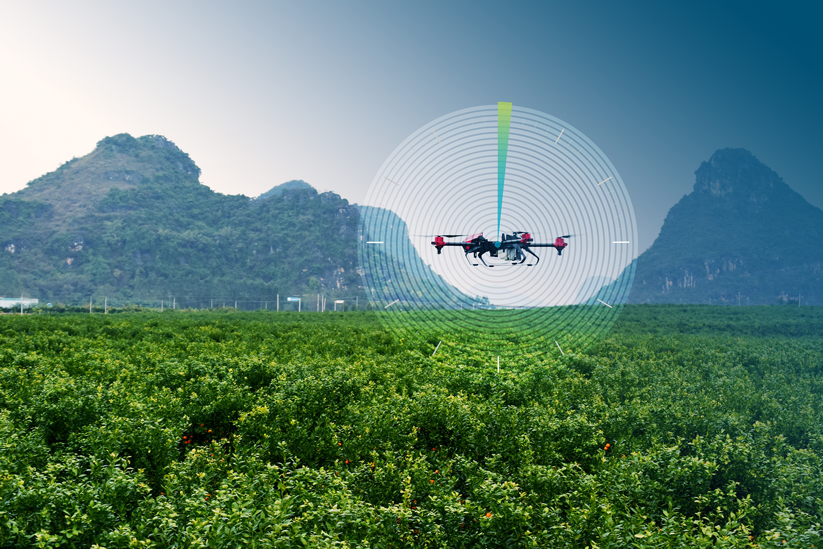
Unmanned and remotely operated vehicles, including ground-based and airborne, rely on precise GNSS position to optimise navigation and control critical operations such as take-off, landing, maneuvering and payload management in challenging conditions. TerraStar Correction Services ensure that absolute position is reliable and highly accurate for real-time positioning. TerraStar puts the control back in your hands, ensuring accurate, reliable and highly available positioning in as little as 60 seconds.

Wherever your UAV or drone travels, you need consistently high levels of precision in position and navigation. Whether your solution experiences reduced line of sight to positioning satellites or other interruptions to GNSS or RTK signals, TerraStar corrections extend the availability and accuracy of your application. TerraStar services are delivered through redundant IP and L-Band delivery channels to ensure your vehicle receives correction data when needed and is positioned with high accuracy at all times.

Building a layer of protection against interference and suboptimal operating conditions. Redundant and reliable corrections delivery systems to the vehicle ensure quick response times for operational success and payload management.
Maintain RTK-levels of accuracy without being tethered to a base station. Improve your overall position, navigation and timing through highly accurate and available corrections.
Consistent global performance makes subscriptions simple and scalable across fleets. Our RTK ASSIST subscriptions improve the availability and range of existing RTK systems.
Whether your application requires highly precise accuracy, 99.999% availability or rapid convergence, TerraStar has the service level to meet your needs.
TerraStar-C PRO supports three centimetre horizontal accuracy (95%) and five centimetre vertical accuracy (95%). As a PPP service, it’s available with consistent levels of performance for applications worldwide. Corrections are delivered via satellite, eliminating the need for base stations or cellular network connectivity. Plus, our high-rate corrections provide instant reconvergence following brief GNSS signal disruptions.
Our RTK ASSIST and RTK ASSIST PRO services extend your RTK positioning through any outages. Leveraging PPP corrections to augment RTK allows TerraStar to extend your usable RTK operating conditions through any correction outages. The satellite connection runs in the background, delivering corrections over L-Band frequencies to your L-Band enabled receiver, meaning that no additional devices, antennas, cables, or communications connectivity are required.
TerraStar-C PRO and RTK ASSIST PRO provide corrections for GPS, GLONASS, Galileo and BeiDou signals. Taking advantage of more visible GNSS signals and corrections ensures your drone or unmanned vehicle has a precision position even in demanding environments.
TerraStar-C PRO and TerraStar-X provide rapidly converging PPP solutions and reconverge in under one minute after GNSS signal interruptions. For established RTK users, RTK ASSIST and RTK ASSIST PRO reliably bridge your RTK position, converging at the same rate as your RTK solution while maintaining independent centimetre-level positioning.
Availability describes the percentage of time that correction data is actively transmitting. 99.999% availability means data transmission is always on. If you do the math on 24/7/365 availability, 99.999% of reliability means a maximum outage of 5.3 minutes across the year.
This level of signal availability underlines the reliability users expect from TerraStar services. We’ve delivered services with 99.999% availability for several decades, ensuring our users have the corrections required for accurate positioning across environmental conditions. TerraStar is the trusted source for high-demanding users who can’t afford any interruptions or downtime. Visit our RTK From the Sky hub page to learn how we measure availability in our correction services.
TerraStar offers multiple service levels that balance accuracy, convergence time and availability to deliver the performance you need.
TerraStar subscription-based services suit your project and payloads for the most flexibility:

TerraStar, powered by Hexagon | NovAtel, is trusted by the world’s top unmanned and remotely controlled vehicle manufacturers. Contact our sales team to learn more about TerraStar Corrections.


